 vesseltracker.com
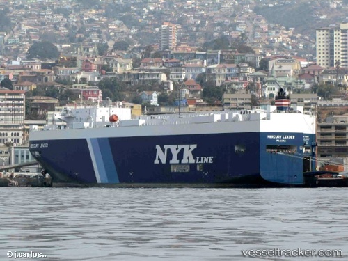
Vessel Mercury Leader IMO: 9392353, MMSI: 431432000 Vehicles Carrier
UTC, -33.44030, 151.97716, course: 219, speed: 14.9
UTC, -33.87098, 151.55261, course: 222, speed: 12.8
2026-02-09 13:38:24 UTC, -34.11057, 151.27177, course: 222, speed: 12.5
Live AIS position:
UTC. Near Smeaton Grange),
updated 2026-02-09 13:38:24 UTC.
Find the position of the vessel Mercury Leader on the map. The latter are known coordinates and path.
marine traffic ship tracker show on live map
The current position of vessel Mercury Leader is -34.11057 lat / 151.27177 lng. Updated: 2026-02-09 13:38:24 UTCDetails:
Last coordinates of the vessel:
UTC, -33.17230, 152.20193, course: 212, speed: 15.1UTC, -33.44030, 151.97716, course: 219, speed: 14.9
UTC, -33.87098, 151.55261, course: 222, speed: 12.8
2026-02-09 13:38:24 UTC, -34.11057, 151.27177, course: 222, speed: 12.5