 vesseltracker.com
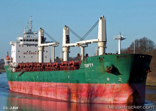
Vessel Tufty IMO: 9393163, MMSI: 212049000 Bulk Carrier
UTC, 45.55689, -73.52022, course: 215, speed: 0
UTC, 45.55686, -73.52023, course: 214, speed: 0
2026-02-09 23:32:32 UTC, 45.55693, -73.52026, course: 214, speed: 0
Live AIS position:
UTC. Near Longue-Pointe),
updated 2026-02-09 23:32:32 UTC.
Find the position of the vessel Tufty on the map. The latter are known coordinates and path.
marine traffic ship tracker show on live map
The current position of vessel Tufty is 45.55693 lat / -73.52026 lng. Updated: 2026-02-09 23:32:32 UTCCurrently sailing under the flag of Cyprus
Tufty built in 2009 year
Deadweight:
30802 tDetails:
Last coordinates of the vessel:
UTC, 45.55685, -73.52016, course: 215, speed: 0UTC, 45.55689, -73.52022, course: 215, speed: 0
UTC, 45.55686, -73.52023, course: 214, speed: 0
2026-02-09 23:32:32 UTC, 45.55693, -73.52026, course: 214, speed: 0