 vesseltracker.com
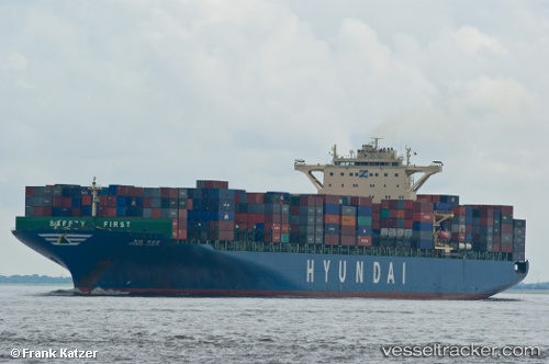
Vessel MSC RIKKU IMO: 9393319, MMSI: 255803450 Container Ship
UTC, 35.62302, 121.54500, course: 310, speed: 9.2
UTC, 35.75615, 121.12718, course: 280, speed: 9.4
2026-01-24 03:57:45 UTC, 35.76685, 121.05138, course: 250, speed: 0
Live AIS position:
UTC. 38 nm S of Nudao),
updated 2026-01-24 03:57:45 UTC.
Find the position of the vessel MSC RIKKU on the map. The latter are known coordinates and path.
marine traffic ship tracker show on live map
The current position of vessel MSC RIKKU is 35.76685 lat / 121.05138 lng. Updated: 2026-01-24 03:57:45 UTCCurrently sailing under the flag of Portugal (MAR)
MSC RIKKU built in 2009 year
Deadweight:
99043 tDetails:
Last coordinates of the vessel:
UTC, 35.44238, 121.88810, course: 298, speed: 9.5UTC, 35.62302, 121.54500, course: 310, speed: 9.2
UTC, 35.75615, 121.12718, course: 280, speed: 9.4
2026-01-24 03:57:45 UTC, 35.76685, 121.05138, course: 250, speed: 0