 vesseltracker.com
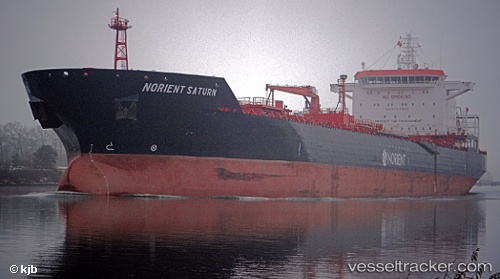
Vessel HW OTTO IMO: 9394040, MMSI: 636023011 Chemical Oil Products Tanker
UTC, 9.26167, 93.57000, course: -1, speed: 13
UTC, 9.53667, 93.20667, course: -1, speed: 14
2026-02-08 15:41:14 UTC, 9.79167, 92.87333, course: -1, speed: 14
Live AIS position:
UTC. 113 nm S of Port Blair),
updated 2026-02-08 15:41:14 UTC.
Find the position of the vessel HW OTTO on the map. The latter are known coordinates and path.
marine traffic ship tracker show on live map
The current position of vessel HW OTTO is 9.79167 lat / 92.87333 lng. Updated: 2026-02-08 15:41:14 UTCCurrently sailing under the flag of Liberia
HW OTTO built in 2007 year
Deadweight:
40435 tDetails:
Last coordinates of the vessel:
UTC, 8.97474, 93.93739, course: 308, speed: 14.4UTC, 9.26167, 93.57000, course: -1, speed: 13
UTC, 9.53667, 93.20667, course: -1, speed: 14
2026-02-08 15:41:14 UTC, 9.79167, 92.87333, course: -1, speed: 14