 vesseltracker.com
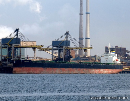
Vessel Manousos P IMO: 9394753, MMSI: 636013647 Bulk Carrier
UTC, -3.93167, -29.89500, course: -1, speed: 10
UTC, -3.60167, -29.72333, course: -1, speed: 10
2026-02-28 21:40:21 UTC, -3.29167, -29.56667, course: -1, speed: 10
Live AIS position:
UTC. 80 nm NW of Aquiraz),
updated 2026-02-28 21:40:21 UTC.
Find the position of the vessel Manousos P on the map. The latter are known coordinates and path.
marine traffic ship tracker show on live map
The current position of vessel Manousos P is -3.29167 lat / -29.56667 lng. Updated: 2026-02-28 21:40:21 UTCDetails:
Last coordinates of the vessel:
UTC, -4.12088, -29.99343, course: 31, speed: 10.4UTC, -3.93167, -29.89500, course: -1, speed: 10
UTC, -3.60167, -29.72333, course: -1, speed: 10
2026-02-28 21:40:21 UTC, -3.29167, -29.56667, course: -1, speed: 10