 vesseltracker.com
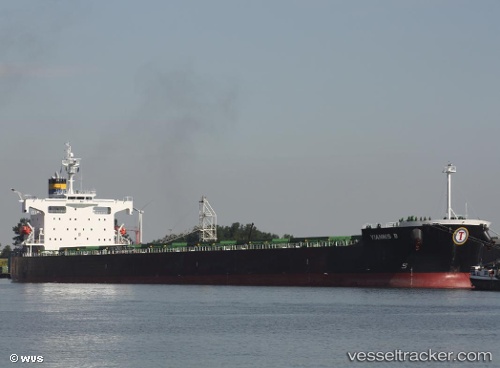
Vessel Yiannis B IMO: 9394765, MMSI: 636013646 Bulk Carrier
UTC, -28.88173, 32.15726, course: 208, speed: 0.4
UTC, -28.70993, 32.29530, course: 141, speed: 5.3
2026-02-14 13:32:21 UTC, -28.75900, 32.27558, course: 191, speed: 2.9
Live AIS position:
UTC. Near Richards Bay),
updated 2026-02-14 13:32:21 UTC.
Find the position of the vessel Yiannis B on the map. The latter are known coordinates and path.
marine traffic ship tracker show on live map
The current position of vessel Yiannis B is -28.75900 lat / 32.27558 lng. Updated: 2026-02-14 13:32:21 UTCDetails:
Last coordinates of the vessel:
UTC, -28.88421, 32.15679, course: 217, speed: 0.8UTC, -28.88173, 32.15726, course: 208, speed: 0.4
UTC, -28.70993, 32.29530, course: 141, speed: 5.3
2026-02-14 13:32:21 UTC, -28.75900, 32.27558, course: 191, speed: 2.9