 vesseltracker.com
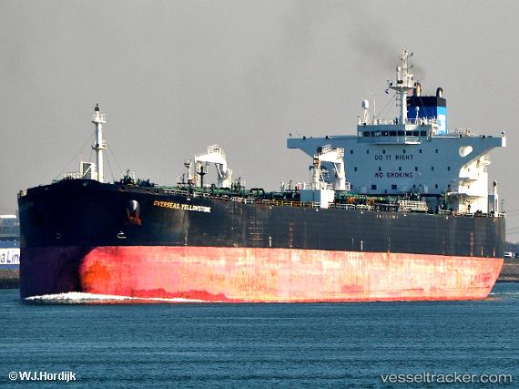
Vessel Seaways Yellowstone IMO: 9394947, MMSI: 538003322 Crude Oil Tanker
UTC, 2.22442, 104.99278, course: 11, speed: 12.5
UTC, 2.52268, 105.05783, course: 17, speed: 12.8
2026-01-20 04:33:04 UTC, 3.04728, 105.27645, course: 35, speed: 12.8
Live AIS position:
UTC. 57 nm W of Terempa),
updated 2026-01-20 04:33:04 UTC.
Find the position of the vessel Seaways Yellowstone on the map. The latter are known coordinates and path.
marine traffic ship tracker show on live map
The current position of vessel Seaways Yellowstone is 3.04728 lat / 105.27645 lng. Updated: 2026-01-20 04:33:04 UTCDetails:
Last coordinates of the vessel:
UTC, 1.83077, 104.88407, course: 23, speed: 12.9UTC, 2.22442, 104.99278, course: 11, speed: 12.5
UTC, 2.52268, 105.05783, course: 17, speed: 12.8
2026-01-20 04:33:04 UTC, 3.04728, 105.27645, course: 35, speed: 12.8