 vesseltracker.com
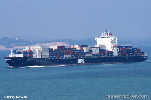
Vessel Bermuda IMO: 9395927, MMSI: 636019061 Container Ship
UTC, 43.22031, -64.96099, course: 221, speed: 12.3
UTC, 42.90246, -65.36702, course: 223, speed: 12
2026-02-03 19:38:43 UTC, 42.57661, -65.78667, course: 227, speed: 12.2
Live AIS position:
UTC. 52 nm S of CLARK'S HARBOUR),
updated 2026-02-03 19:38:43 UTC.
Find the position of the vessel Bermuda on the map. The latter are known coordinates and path.
marine traffic ship tracker show on live map
The current position of vessel Bermuda is 42.57661 lat / -65.78667 lng. Updated: 2026-02-03 19:38:43 UTCDetails:
Last coordinates of the vessel:
UTC, 43.37540, -64.76095, course: 220, speed: 11.9UTC, 43.22031, -64.96099, course: 221, speed: 12.3
UTC, 42.90246, -65.36702, course: 223, speed: 12
2026-02-03 19:38:43 UTC, 42.57661, -65.78667, course: 227, speed: 12.2