 vesseltracker.com
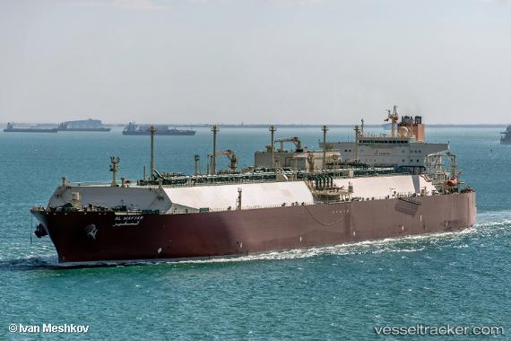
Vessel Al Mafyar IMO: 9397315, MMSI: 538003357 Lng Tanker
UTC, 1.15991, 103.71932, course: 51, speed: 0.1
UTC, 1.19864, 103.52366, course: 284, speed: 13.4
2026-02-04 17:36:46 UTC, 1.31486, 103.29879, course: 307, speed: 14.2
Live AIS position:
UTC. 15 nm W of TANJUNG PELEPAS),
updated 2026-02-04 17:36:46 UTC.
Find the position of the vessel Al Mafyar on the map. The latter are known coordinates and path.
marine traffic ship tracker show on live map
The current position of vessel Al Mafyar is 1.31486 lat / 103.29879 lng. Updated: 2026-02-04 17:36:46 UTCCurrently sailing under the flag of Marshall Is
Al Mafyar built in 2009 year
Deadweight:
130441 tDetails:
Last coordinates of the vessel:
UTC, 1.15925, 103.72241, course: 337, speed: 0.1UTC, 1.15991, 103.71932, course: 51, speed: 0.1
UTC, 1.19864, 103.52366, course: 284, speed: 13.4
2026-02-04 17:36:46 UTC, 1.31486, 103.29879, course: 307, speed: 14.2