 vesseltracker.com
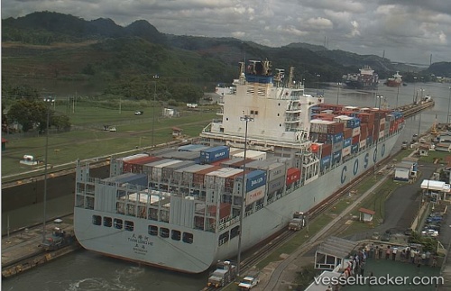
Vessel Tian Long He IMO: 9400538, MMSI: 413761000 Container Ship
UTC, 23.66511, 118.03023, course: 230, speed: 11.1
UTC, 23.40602, 117.70622, course: 232, speed: 11.6
2026-01-26 00:29:37 UTC, 23.13140, 117.33633, course: 205, speed: 10.9
Live AIS position:
UTC. 26 nm SW of Nanao Pt),
updated 2026-01-26 00:29:37 UTC.
Find the position of the vessel Tian Long He on the map. The latter are known coordinates and path.
marine traffic ship tracker show on live map
The current position of vessel Tian Long He is 23.13140 lat / 117.33633 lng. Updated: 2026-01-26 00:29:37 UTCCurrently sailing under the flag of China
Details:
Last coordinates of the vessel:
UTC, 23.93316, 118.34072, course: 228, speed: 10.2UTC, 23.66511, 118.03023, course: 230, speed: 11.1
UTC, 23.40602, 117.70622, course: 232, speed: 11.6
2026-01-26 00:29:37 UTC, 23.13140, 117.33633, course: 205, speed: 10.9