 vesseltracker.com
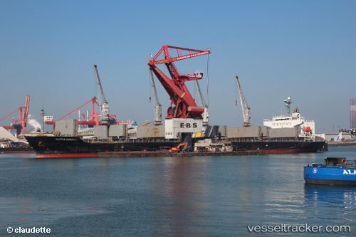
Vessel IMO: 9400899, MMSI: 574004750
UTC, 18.74338, 65.27017, course: 135, speed: 10.9
UTC, 18.31402, 65.76337, course: 135, speed: 10.9
2026-02-20 02:13:07 UTC, 18.31402, 65.76337, course: 135, speed: 10.9
Live AIS position:
UTC. 303 nm SW of Veraval),
updated 2026-02-20 02:13:07 UTC.
Find the position of the vessel on the map. The latter are known coordinates and path.
marine traffic ship tracker show on live map
The current position of vessel is 18.31402 lat / 65.76337 lng. Updated: 2026-02-20 02:13:07 UTCCurrently sailing under the flag of NULL
Details:
Last coordinates of the vessel:
UTC, 18.87840, 65.11738, course: 133, speed: 10.8UTC, 18.74338, 65.27017, course: 135, speed: 10.9
UTC, 18.31402, 65.76337, course: 135, speed: 10.9
2026-02-20 02:13:07 UTC, 18.31402, 65.76337, course: 135, speed: 10.9