 vesseltracker.com
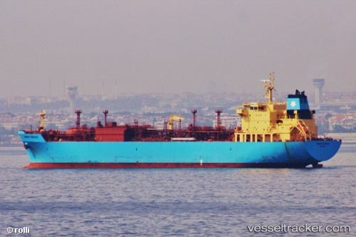
Vessel Navigator Virgo IMO: 9404819, MMSI: 636015941 Lpg Tanker
UTC, 23.00657, 122.64017, course: 192, speed: 9.6
UTC, 22.79103, 122.57748, course: 197, speed: 10.1
2026-02-15 08:09:21 UTC, 22.32278, 122.39697, course: 193, speed: 9.9
Live AIS position:
UTC. 108 nm SE of Hua-Lien Kang),
updated 2026-02-15 08:09:21 UTC.
Find the position of the vessel Navigator Virgo on the map. The latter are known coordinates and path.
marine traffic ship tracker show on live map
The current position of vessel Navigator Virgo is 22.32278 lat / 122.39697 lng. Updated: 2026-02-15 08:09:21 UTCCurrently sailing under the flag of Liberia
Navigator Virgo built in 2009 year
Deadweight:
23273 tDetails:
Last coordinates of the vessel:
UTC, 23.42528, 122.70237, course: 190, speed: 10UTC, 23.00657, 122.64017, course: 192, speed: 9.6
UTC, 22.79103, 122.57748, course: 197, speed: 10.1
2026-02-15 08:09:21 UTC, 22.32278, 122.39697, course: 193, speed: 9.9