 vesseltracker.com
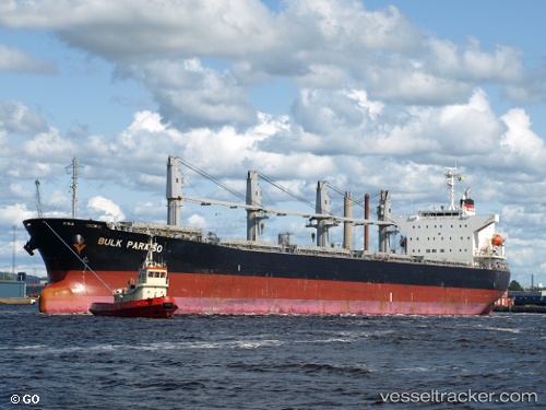
Vessel G FORCE IMO: 9405497, MMSI: 636024607 Bulk Carrier
UTC, 26.37115, 53.95183, course: -1, speed: 11.4
UTC, 26.43665, 53.53628, course: 287, speed: 11
2026-03-01 00:04:07 UTC, 26.54865, 53.22774, course: 302, speed: 10.4
Live AIS position:
UTC. 15 nm SW of Jazireh-Ye Lavan),
updated 2026-03-01 00:04:07 UTC.
Find the position of the vessel G FORCE on the map. The latter are known coordinates and path.
marine traffic ship tracker show on live map
The current position of vessel G FORCE is 26.54865 lat / 53.22774 lng. Updated: 2026-03-01 00:04:07 UTCCurrently sailing under the flag of Liberia
Details:
Last coordinates of the vessel:
UTC, 26.34430, 54.47116, course: 270, speed: 10.9UTC, 26.37115, 53.95183, course: -1, speed: 11.4
UTC, 26.43665, 53.53628, course: 287, speed: 11
2026-03-01 00:04:07 UTC, 26.54865, 53.22774, course: 302, speed: 10.4