 vesseltracker.com
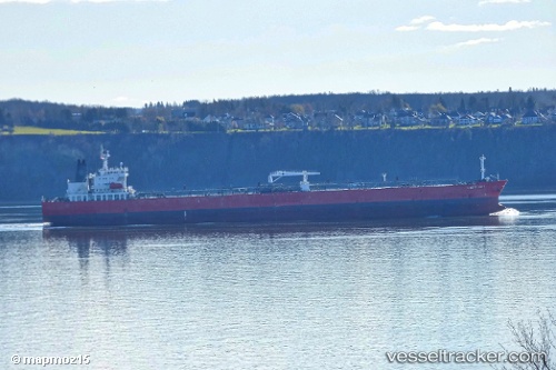
Vessel Cape Taura IMO: 9407251, MMSI: 538007911 Crude Oil Tanker
UTC, -23.06657, -5.58853, course: 119, speed: 12.1
UTC, -23.30500, -5.20833, course: -1, speed: 12
2026-02-26 07:57:41 UTC, -23.55615, -4.81534, course: 121, speed: 11.4
Live AIS position:
UTC. Open sea (no nearby ports in database)),
updated 2026-02-26 07:57:41 UTC.
Find the position of the vessel Cape Taura on the map. The latter are known coordinates and path.
marine traffic ship tracker show on live map
The current position of vessel Cape Taura is -23.55615 lat / -4.81534 lng. Updated: 2026-02-26 07:57:41 UTCDetails:
Last coordinates of the vessel:
UTC, -22.94823, -5.77410, course: 124, speed: 12.2UTC, -23.06657, -5.58853, course: 119, speed: 12.1
UTC, -23.30500, -5.20833, course: -1, speed: 12
2026-02-26 07:57:41 UTC, -23.55615, -4.81534, course: 121, speed: 11.4