 vesseltracker.com
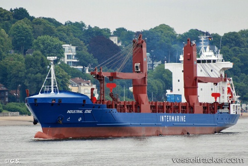
Vessel Bbc Edge IMO: 9407598, MMSI: 305472000 General Cargo Ship
UTC, 27.13918, -30.52061, course: 266, speed: 12.1
UTC, 27.06348, -31.13709, course: 266, speed: 13
2026-02-05 13:57:32 UTC, 27.00665, -31.54967, course: 265, speed: 12.2
Live AIS position:
UTC. 182 nm SW of Tarpon Springs),
updated 2026-02-05 13:57:32 UTC.
Find the position of the vessel Bbc Edge on the map. The latter are known coordinates and path.
marine traffic ship tracker show on live map
The current position of vessel Bbc Edge is 27.00665 lat / -31.54967 lng. Updated: 2026-02-05 13:57:32 UTCCurrently sailing under the flag of Antigua Barbuda
Bbc Edge built in 2009 year
Deadweight:
10382 tDetails:
Last coordinates of the vessel:
UTC, 27.16487, -30.27349, course: 266, speed: 11.7UTC, 27.13918, -30.52061, course: 266, speed: 12.1
UTC, 27.06348, -31.13709, course: 266, speed: 13
2026-02-05 13:57:32 UTC, 27.00665, -31.54967, course: 265, speed: 12.2