 vesseltracker.com
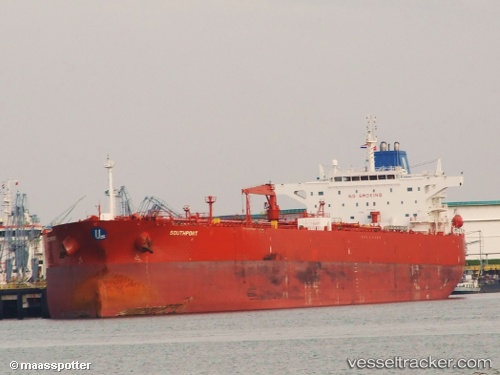
Vessel EVITA IMO: 9408530, MMSI: 314001088 Crude Oil Tanker
UTC, -78.02108, -177.89951, course: 321, speed: 28.7
UTC, -78.02108, -177.89951, course: 321, speed: 28.7
UTC, 22.66453, 56.07515, course: 267, speed: 31.7
UTC, 22.66453, 56.07515, course: 267, speed: 31.7
2026-02-03 05:04:38 UTC, 22.66453, 56.07515, course: 267, speed: 31.7
Live AIS position:
UTC. 75 nm SW of Safa),
updated 2026-02-03 05:04:38 UTC.
Find the position of the vessel EVITA on the map. The latter are known coordinates and path.
marine traffic ship tracker show on live map
The current position of vessel EVITA is 22.66453 lat / 56.07515 lng. Updated: 2026-02-03 05:04:38 UTCCurrently sailing under the flag of Barbados
EVITA built in 0 year
Deadweight:
0 tDetails:
Last coordinates of the vessel:
UTC, -78.02108, -177.89951, course: 321, speed: 28.7UTC, -78.02108, -177.89951, course: 321, speed: 28.7
UTC, -78.02108, -177.89951, course: 321, speed: 28.7
UTC, 22.66453, 56.07515, course: 267, speed: 31.7
UTC, 22.66453, 56.07515, course: 267, speed: 31.7
2026-02-03 05:04:38 UTC, 22.66453, 56.07515, course: 267, speed: 31.7