 vesseltracker.com
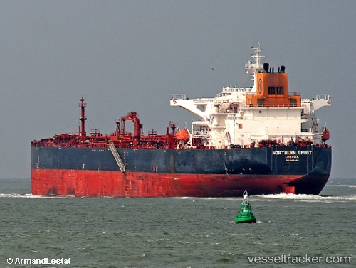
Vessel Kalahari IMO: 9410882, MMSI: 636019358 Crude Oil Tanker
UTC, 36.88937, 15.42553, course: 22, speed: 10.2
UTC, 37.15726, 15.41028, course: 339, speed: 9.4
2026-01-30 08:09:36 UTC, 37.19445, 15.20981, course: 254, speed: 0
Live AIS position:
UTC. Near Augusta),
updated 2026-01-30 08:09:36 UTC.
Find the position of the vessel Kalahari on the map. The latter are known coordinates and path.
marine traffic ship tracker show on live map
The current position of vessel Kalahari is 37.19445 lat / 15.20981 lng. Updated: 2026-01-30 08:09:36 UTCDetails:
Last coordinates of the vessel:
UTC, 36.55060, 15.19043, course: 74, speed: 10.5UTC, 36.88937, 15.42553, course: 22, speed: 10.2
UTC, 37.15726, 15.41028, course: 339, speed: 9.4
2026-01-30 08:09:36 UTC, 37.19445, 15.20981, course: 254, speed: 0