 vesseltracker.com
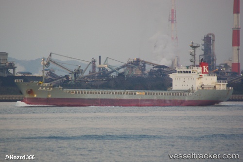
Vessel Mitsukawa Maru IMO: 9412983, MMSI: 431000326 Limestone Carrier
UTC, 35.57419, 140.11377, course: 170, speed: 0
UTC, 35.57410, 140.11371, course: 170, speed: 0
2026-02-06 16:34:19 UTC, 35.57412, 140.11375, course: 170, speed: 0
Live AIS position:
UTC. Near CHIBA),
updated 2026-02-06 16:34:19 UTC.
Find the position of the vessel Mitsukawa Maru on the map. The latter are known coordinates and path.
marine traffic ship tracker show on live map
The current position of vessel Mitsukawa Maru is 35.57412 lat / 140.11375 lng. Updated: 2026-02-06 16:34:19 UTCCurrently sailing under the flag of Japan
Details:
Last coordinates of the vessel:
UTC, 35.57412, 140.11369, course: 170, speed: 0.1UTC, 35.57419, 140.11377, course: 170, speed: 0
UTC, 35.57410, 140.11371, course: 170, speed: 0
2026-02-06 16:34:19 UTC, 35.57412, 140.11375, course: 170, speed: 0