 vesseltracker.com
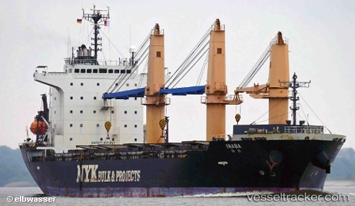
Vessel Inaba IMO: 9414979, MMSI: 370618000 General Cargo Ship
UTC, -7.12138, 40.35392, course: 107, speed: 0.4
UTC, -7.13015, 40.32893, course: 108, speed: 0.4
2026-02-05 11:32:05 UTC, -7.13537, 40.32553, course: 108, speed: 0.3
Live AIS position:
UTC. 64 nm E of Dar Es Salaam),
updated 2026-02-05 11:32:05 UTC.
Find the position of the vessel Inaba on the map. The latter are known coordinates and path.
marine traffic ship tracker show on live map
The current position of vessel Inaba is -7.13537 lat / 40.32553 lng. Updated: 2026-02-05 11:32:05 UTCCurrently sailing under the flag of Panama
Inaba built in 2008 year
Deadweight:
20145 tDetails:
Last coordinates of the vessel:
UTC, -7.14057, 40.19257, course: 85, speed: 11.6UTC, -7.12138, 40.35392, course: 107, speed: 0.4
UTC, -7.13015, 40.32893, course: 108, speed: 0.4
2026-02-05 11:32:05 UTC, -7.13537, 40.32553, course: 108, speed: 0.3