 vesseltracker.com
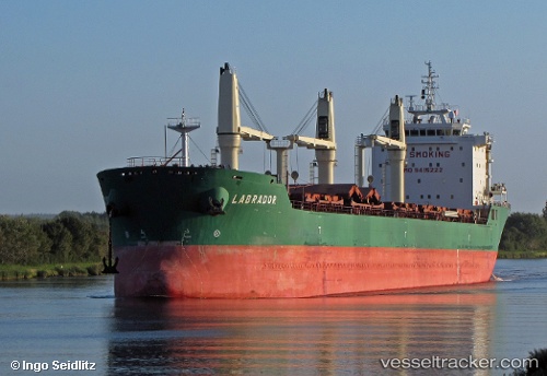
Vessel Labrador IMO: 9415222, MMSI: 209008000 Bulk Carrier
UTC, -8.32333, -32.79500, course: -1, speed: 10
UTC, -8.46833, -32.87333, course: -1, speed: 10
2026-02-20 16:07:35 UTC, -8.90833, -33.11333, course: -1, speed: 11
Live AIS position:
UTC. 112 nm E of Cabo de Santo Agostinho),
updated 2026-02-20 16:07:35 UTC.
Find the position of the vessel Labrador on the map. The latter are known coordinates and path.
marine traffic ship tracker show on live map
The current position of vessel Labrador is -8.90833 lat / -33.11333 lng. Updated: 2026-02-20 16:07:35 UTCDetails:
Last coordinates of the vessel:
UTC, -7.74333, -32.48000, course: -1, speed: 10UTC, -8.32333, -32.79500, course: -1, speed: 10
UTC, -8.46833, -32.87333, course: -1, speed: 10
2026-02-20 16:07:35 UTC, -8.90833, -33.11333, course: -1, speed: 11