 vesseltracker.com
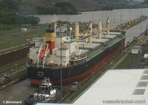
Vessel Em Ruby IMO: 9415739, MMSI: 374908000 Bulk Carrier
UTC, 14.29507, 87.11021, course: 39, speed: 10.7
UTC, 14.29507, 87.11021, course: 39, speed: 10.7
2026-02-09 09:00:19 UTC, 14.29507, 87.11021, course: 39, speed: 10.7
Live AIS position:
UTC. 142 nm W of Armenia),
updated 2026-02-09 09:00:19 UTC.
Find the position of the vessel Em Ruby on the map. The latter are known coordinates and path.
marine traffic ship tracker show on live map
The current position of vessel Em Ruby is 14.29507 lat / 87.11021 lng. Updated: 2026-02-09 09:00:19 UTCDetails:
Last coordinates of the vessel:
UTC, 11.40872, 85.19362, course: 39, speed: 10.2UTC, 14.29507, 87.11021, course: 39, speed: 10.7
UTC, 14.29507, 87.11021, course: 39, speed: 10.7
2026-02-09 09:00:19 UTC, 14.29507, 87.11021, course: 39, speed: 10.7