 vesseltracker.com
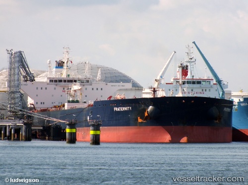
Vessel Fraternity IMO: 9416733, MMSI: 205559000 Crude Oil Tanker
UTC, -48.96473, -76.31003, course: 355, speed: 11.7
UTC, -48.43172, -76.34200, course: 355, speed: 11.2
2026-02-08 12:03:42 UTC, -48.10918, -76.34605, course: 354, speed: 11
Live AIS position:
UTC. 98 nm NW of Puerto Edén),
updated 2026-02-08 12:03:42 UTC.
Find the position of the vessel Fraternity on the map. The latter are known coordinates and path.
marine traffic ship tracker show on live map
The current position of vessel Fraternity is -48.10918 lat / -76.34605 lng. Updated: 2026-02-08 12:03:42 UTCDetails:
Last coordinates of the vessel:
UTC, -49.18202, -76.30098, course: 353, speed: 11.3UTC, -48.96473, -76.31003, course: 355, speed: 11.7
UTC, -48.43172, -76.34200, course: 355, speed: 11.2
2026-02-08 12:03:42 UTC, -48.10918, -76.34605, course: 354, speed: 11