 vesseltracker.com
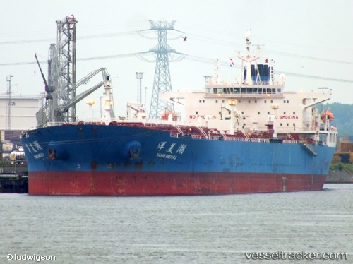
Vessel Yang Mei Hu IMO: 9417165, MMSI: 413858000 Crude Oil Tanker
UTC, 16.36333, 116.31833, course: -1, speed: 10
UTC, 16.72147, 116.63106, course: 37, speed: 11
2026-02-13 16:19:14 UTC, 17.00483, 116.86828, course: 38, speed: 10.5
Live AIS position:
UTC. 177 nm W of Bolinao),
updated 2026-02-13 16:19:14 UTC.
Find the position of the vessel Yang Mei Hu on the map. The latter are known coordinates and path.
marine traffic ship tracker show on live map
The current position of vessel Yang Mei Hu is 17.00483 lat / 116.86828 lng. Updated: 2026-02-13 16:19:14 UTCDetails:
Last coordinates of the vessel:
UTC, 16.10548, 116.09451, course: 39, speed: 9.5UTC, 16.36333, 116.31833, course: -1, speed: 10
UTC, 16.72147, 116.63106, course: 37, speed: 11
2026-02-13 16:19:14 UTC, 17.00483, 116.86828, course: 38, speed: 10.5