 vesseltracker.com
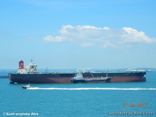
Vessel '241724000' IMO: 9418066, MMSI: 241724000
UTC, -16.34302, 10.37378, course: 346, speed: 13.4
UTC, -15.99653, 10.27285, course: 344, speed: 13.9
2026-02-07 19:27:43 UTC, -15.61393, 10.15076, course: 344, speed: 13.3
Live AIS position:
UTC. 109 nm NW of Baía dos Tigres),
updated 2026-02-07 19:27:43 UTC.
Find the position of the vessel '241724000' on the map. The latter are known coordinates and path.
marine traffic ship tracker show on live map
The current position of vessel '241724000' is -15.61393 lat / 10.15076 lng. Updated: 2026-02-07 19:27:43 UTCDetails:
Last coordinates of the vessel:
UTC, -16.84605, 10.50450, course: 349, speed: 13.9UTC, -16.34302, 10.37378, course: 346, speed: 13.4
UTC, -15.99653, 10.27285, course: 344, speed: 13.9
2026-02-07 19:27:43 UTC, -15.61393, 10.15076, course: 344, speed: 13.3