 vesseltracker.com
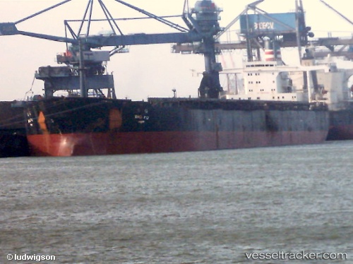
Vessel Bao Fu IMO: 9419462, MMSI: 352945000 Ore Carrier
UTC, 38.62168, 120.74658, course: 277, speed: 9.9
UTC, 38.65630, 120.39303, course: 277, speed: 10.2
2026-02-10 23:21:14 UTC, 38.68704, 120.06557, course: 276, speed: 9.7
Live AIS position:
UTC. 52 nm W of Lushun New Pt),
updated 2026-02-10 23:21:14 UTC.
Find the position of the vessel Bao Fu on the map. The latter are known coordinates and path.
marine traffic ship tracker show on live map
The current position of vessel Bao Fu is 38.68704 lat / 120.06557 lng. Updated: 2026-02-10 23:21:14 UTCCurrently sailing under the flag of Panama
Details:
Last coordinates of the vessel:
UTC, 38.43892, 121.25293, course: 286, speed: 9.8UTC, 38.62168, 120.74658, course: 277, speed: 9.9
UTC, 38.65630, 120.39303, course: 277, speed: 10.2
2026-02-10 23:21:14 UTC, 38.68704, 120.06557, course: 276, speed: 9.7