 vesseltracker.com
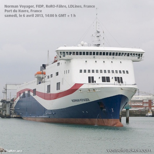
Vessel LIVIA IMO: 9420423, MMSI: 311001682 Ro-Ro/Passenger Ship
UTC, -41.28083, 174.78365, course: 170, speed: 0
UTC, -41.37770, 174.66290, course: 282, speed: 15.1
2026-02-28 01:21:21 UTC, -41.23139, 174.35994, course: 295, speed: 19.1
Live AIS position:
UTC. Near Whekenui),
updated 2026-02-28 01:21:21 UTC.
Find the position of the vessel LIVIA on the map. The latter are known coordinates and path.
marine traffic ship tracker show on live map
The current position of vessel LIVIA is -41.23139 lat / 174.35994 lng. Updated: 2026-02-28 01:21:21 UTCCurrently sailing under the flag of Bahamas
Details:
Last coordinates of the vessel:
UTC, -41.28082, 174.78365, course: 170, speed: 0UTC, -41.28083, 174.78365, course: 170, speed: 0
UTC, -41.37770, 174.66290, course: 282, speed: 15.1
2026-02-28 01:21:21 UTC, -41.23139, 174.35994, course: 295, speed: 19.1