 vesseltracker.com
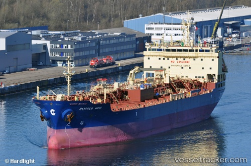
Vessel MARI GALAXY IMO: 9422677, MMSI: 563267800 Oil/Chemical Tanker
UTC, 42.50756, -66.49099, course: 349, speed: 12.8
UTC, 42.92682, -66.68661, course: 344, speed: 13.6
2026-03-04 04:19:15 UTC, 43.31509, -66.79349, course: 342, speed: 11.9
Live AIS position:
UTC. 39 nm SW of Chebogue Point),
updated 2026-03-04 04:19:15 UTC.
Find the position of the vessel MARI GALAXY on the map. The latter are known coordinates and path.
marine traffic ship tracker show on live map
The current position of vessel MARI GALAXY is 43.31509 lat / -66.79349 lng. Updated: 2026-03-04 04:19:15 UTCCurrently sailing under the flag of Singapore
Details:
Last coordinates of the vessel:
UTC, 42.05214, -66.32093, course: 356, speed: 13.1UTC, 42.50756, -66.49099, course: 349, speed: 12.8
UTC, 42.92682, -66.68661, course: 344, speed: 13.6
2026-03-04 04:19:15 UTC, 43.31509, -66.79349, course: 342, speed: 11.9