 vesseltracker.com
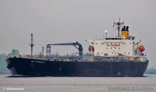
Vessel MANTA IMO: 9424651, MMSI: 667001259 Oil Products Tanker
UTC, 39.55800, -10.31565, course: 178, speed: 12.2
UTC, 38.89491, -10.32089, course: -1, speed: 12.6
2026-03-01 21:35:08 UTC, 38.64676, -10.28747, course: -1, speed: 11.8
Live AIS position:
UTC. 40 nm N of Los Ramos),
updated 2026-03-01 21:35:08 UTC.
Find the position of the vessel MANTA on the map. The latter are known coordinates and path.
marine traffic ship tracker show on live map
The current position of vessel MANTA is 38.64676 lat / -10.28747 lng. Updated: 2026-03-01 21:35:08 UTCCurrently sailing under the flag of Sierra Leone
Details:
Last coordinates of the vessel:
UTC, 39.90131, -10.31320, course: -1, speed: 12.1UTC, 39.55800, -10.31565, course: 178, speed: 12.2
UTC, 38.89491, -10.32089, course: -1, speed: 12.6
2026-03-01 21:35:08 UTC, 38.64676, -10.28747, course: -1, speed: 11.8