 vesseltracker.com
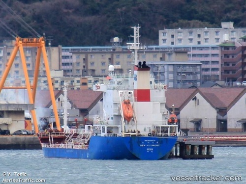
Vessel New Harmony IMO: 9425629, MMSI: 441603000 Chemical Oil Products Tanker
UTC, 28.94947, 127.28675, course: 232, speed: 9
UTC, 28.79461, 127.01999, course: 235, speed: 10.7
2026-02-15 15:32:37 UTC, 28.57708, 126.63464, course: 235, speed: 11.6
Live AIS position:
UTC. 128 nm NW of Furusato, Kagoshima),
updated 2026-02-15 15:32:37 UTC.
Find the position of the vessel New Harmony on the map. The latter are known coordinates and path.
marine traffic ship tracker show on live map
The current position of vessel New Harmony is 28.57708 lat / 126.63464 lng. Updated: 2026-02-15 15:32:37 UTCCurrently sailing under the flag of Korea
Details:
Last coordinates of the vessel:
UTC, 29.04414, 127.44545, course: 227, speed: 8.8UTC, 28.94947, 127.28675, course: 232, speed: 9
UTC, 28.79461, 127.01999, course: 235, speed: 10.7
2026-02-15 15:32:37 UTC, 28.57708, 126.63464, course: 235, speed: 11.6