 vesseltracker.com
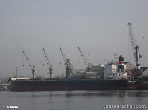
Vessel Stavros IMO: 9425875, MMSI: 215468000 Bulk Carrier
UTC, 4.10828, 4.19642, course: 303, speed: 12.3
UTC, 4.36333, 3.805, course: -1, speed: 12
2026-02-06 21:24:46 UTC, 4.52618, 3.54723, course: 298, speed: 12.6
Live AIS position:
UTC. 69 nm SW of Erha Terminal),
updated 2026-02-06 21:24:46 UTC.
Find the position of the vessel Stavros on the map. The latter are known coordinates and path.
marine traffic ship tracker show on live map
The current position of vessel Stavros is 4.52618 lat / 3.54723 lng. Updated: 2026-02-06 21:24:46 UTCCurrently sailing under the flag of Malta
Details:
Last coordinates of the vessel:
UTC, 3.90667, 4.50167, course: -1, speed: 11UTC, 4.10828, 4.19642, course: 303, speed: 12.3
UTC, 4.36333, 3.805, course: -1, speed: 12
2026-02-06 21:24:46 UTC, 4.52618, 3.54723, course: 298, speed: 12.6