 vesseltracker.com
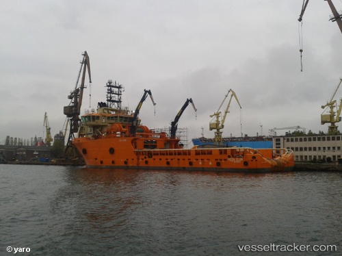
Vessel HUA DA IMO: 9427043, MMSI: 413382910 Anchor Handling Vessel
UTC, 29.33102, 125.52831, course: 177, speed: 0.3
UTC, 29.33289, 125.53154, course: 219, speed: 0.1
2026-02-24 07:52:46 UTC, 29.33285, 125.53145, course: 221, speed: 0.3
Live AIS position:
UTC. 176 nm SE of Lü-hua Shan),
updated 2026-02-24 07:52:46 UTC.
Find the position of the vessel HUA DA on the map. The latter are known coordinates and path.
marine traffic ship tracker show on live map
The current position of vessel HUA DA is 29.33285 lat / 125.53145 lng. Updated: 2026-02-24 07:52:46 UTCCurrently sailing under the flag of China
Details:
Last coordinates of the vessel:
UTC, 29.33336, 125.52637, course: 158, speed: 0UTC, 29.33102, 125.52831, course: 177, speed: 0.3
UTC, 29.33289, 125.53154, course: 219, speed: 0.1
2026-02-24 07:52:46 UTC, 29.33285, 125.53145, course: 221, speed: 0.3