 vesseltracker.com
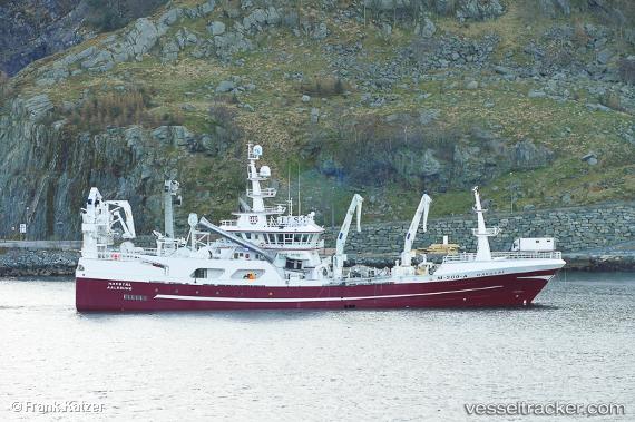
Vessel Havstaal IMO: 9429728, MMSI: 257001650 Fish Carrier
UTC, 62.12213, 4.72257, course: -1, speed: 10.3
UTC, 61.98588, 4.34735, course: -1, speed: 9.6
2026-02-26 20:03:29 UTC, 61.74167, 3.66833, course: -1, speed: 10
Live AIS position:
UTC. 24 nm NW of Gjoa),
updated 2026-02-26 20:03:29 UTC.
Find the position of the vessel Havstaal on the map. The latter are known coordinates and path.
marine traffic ship tracker show on live map
The current position of vessel Havstaal is 61.74167 lat / 3.66833 lng. Updated: 2026-02-26 20:03:29 UTCCurrently sailing under the flag of Norway
Details:
Last coordinates of the vessel:
UTC, 62.32156, 5.67553, course: -1, speed: 0UTC, 62.12213, 4.72257, course: -1, speed: 10.3
UTC, 61.98588, 4.34735, course: -1, speed: 9.6
2026-02-26 20:03:29 UTC, 61.74167, 3.66833, course: -1, speed: 10