 vesseltracker.com
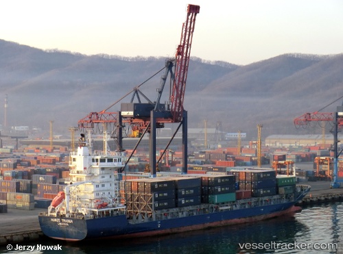
Vessel REGULA IMO: 9430064, MMSI: 304304000 Container Ship
UTC, 21.05489, -74.23472, course: 287, speed: 13.1
UTC, 21.22068, -74.72992, course: -1, speed: 12.6
2026-02-26 21:26:14 UTC, 21.34921, -75.11184, course: 287, speed: 11.8
Live AIS position:
UTC. 41 nm N of Boca De Tanamo),
updated 2026-02-26 21:26:14 UTC.
Find the position of the vessel REGULA on the map. The latter are known coordinates and path.
marine traffic ship tracker show on live map
The current position of vessel REGULA is 21.34921 lat / -75.11184 lng. Updated: 2026-02-26 21:26:14 UTCCurrently sailing under the flag of Antigua and Barbuda
REGULA built in 2008 year
Deadweight:
8509 tDetails:
Last coordinates of the vessel:
UTC, 20.87127, -73.76865, course: -1, speed: 12.3UTC, 21.05489, -74.23472, course: 287, speed: 13.1
UTC, 21.22068, -74.72992, course: -1, speed: 12.6
2026-02-26 21:26:14 UTC, 21.34921, -75.11184, course: 287, speed: 11.8