 vesseltracker.com
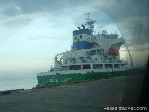
Vessel CONCORD IMO: 9430715, MMSI: 518998308 Chemical/Oil Products Tanker
UTC, 28.17574, 50.59175, course: 318, speed: 10.6
UTC, 28.48200, 50.27601, course: 318, speed: 10.6
2026-02-06 22:07:03 UTC, 28.69361, 50.05796, course: 318, speed: 10.6
Live AIS position:
UTC. 34 nm S of Kharg Island),
updated 2026-02-06 22:07:03 UTC.
Find the position of the vessel CONCORD on the map. The latter are known coordinates and path.
marine traffic ship tracker show on live map
The current position of vessel CONCORD is 28.69361 lat / 50.05796 lng. Updated: 2026-02-06 22:07:03 UTCCurrently sailing under the flag of Cook islands
CONCORD built in 2012 year
Deadweight:
13937 tDetails:
Last coordinates of the vessel:
UTC, 27.86476, 50.91202, course: 318, speed: 10.6UTC, 28.17574, 50.59175, course: 318, speed: 10.6
UTC, 28.48200, 50.27601, course: 318, speed: 10.6
2026-02-06 22:07:03 UTC, 28.69361, 50.05796, course: 318, speed: 10.6