 vesseltracker.com
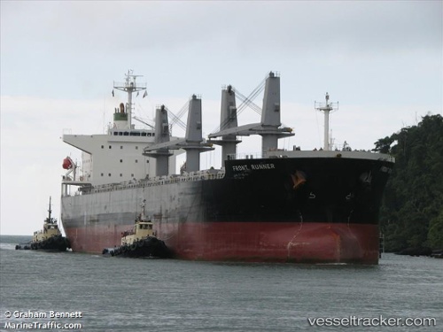
Vessel Anikitos IMO: 9430806, MMSI: 212951000 Bulk Carrier
UTC, 17.07290, 119.87263, course: 200, speed: 12
UTC, 16.77952, 119.77600, course: 196, speed: 12.3
2026-02-11 01:58:30 UTC, 16.28952, 119.63092, course: 196, speed: 13
Live AIS position:
UTC. 16 nm W of Bolinao),
updated 2026-02-11 01:58:30 UTC.
Find the position of the vessel Anikitos on the map. The latter are known coordinates and path.
marine traffic ship tracker show on live map
The current position of vessel Anikitos is 16.28952 lat / 119.63092 lng. Updated: 2026-02-11 01:58:30 UTCDetails:
Last coordinates of the vessel:
UTC, 17.95595, 120.14868, course: 198, speed: 10.7UTC, 17.07290, 119.87263, course: 200, speed: 12
UTC, 16.77952, 119.77600, course: 196, speed: 12.3
2026-02-11 01:58:30 UTC, 16.28952, 119.63092, course: 196, speed: 13