 vesseltracker.com
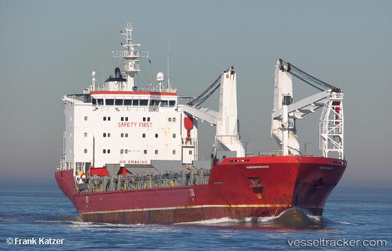
Vessel Hudsongracht IMO: 9433262, MMSI: 244030000 Multi Purpose Carrier
UTC, 30.29500, -17.60333, course: -1, speed: 12
UTC, 29.78702, -17.85420, course: 206, speed: 12.2
2026-02-07 18:30:11 UTC, 29.43083, -18.11721, course: 218, speed: 12.7
Live AIS position:
UTC. 43 nm N of Roque De Los Muchachos),
updated 2026-02-07 18:30:11 UTC.
Find the position of the vessel Hudsongracht on the map. The latter are known coordinates and path.
marine traffic ship tracker show on live map
The current position of vessel Hudsongracht is 29.43083 lat / -18.11721 lng. Updated: 2026-02-07 18:30:11 UTCDetails:
Last coordinates of the vessel:
UTC, 30.72355, -17.53562, course: 194, speed: 12UTC, 30.29500, -17.60333, course: -1, speed: 12
UTC, 29.78702, -17.85420, course: 206, speed: 12.2
2026-02-07 18:30:11 UTC, 29.43083, -18.11721, course: 218, speed: 12.7