 vesseltracker.com
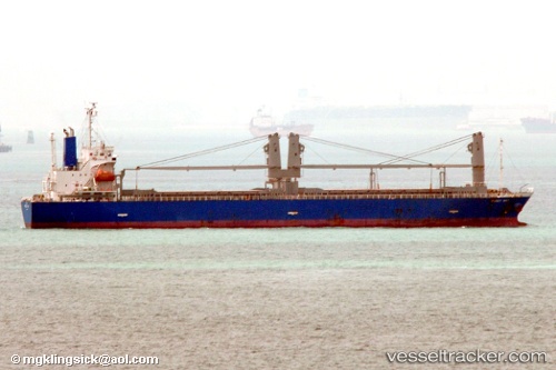
Vessel Peggy Way IMO: 9433872, MMSI: 357045000 General Cargo Ship
UTC, 27.16383, 121.24750, course: -1, speed: 0.6
UTC, 27.16367, 121.24767, course: 7, speed: 0.1
2026-02-28 03:22:48 UTC, 27.16367, 121.24733, course: 14, speed: 0
Live AIS position:
UTC. 44 nm S of Zhuangyuanao),
updated 2026-02-28 03:22:48 UTC.
Find the position of the vessel Peggy Way on the map. The latter are known coordinates and path.
marine traffic ship tracker show on live map
The current position of vessel Peggy Way is 27.16367 lat / 121.24733 lng. Updated: 2026-02-28 03:22:48 UTCDetails:
Last coordinates of the vessel:
UTC, 27.10850, 121.26433, course: 351, speed: 11.2UTC, 27.16383, 121.24750, course: -1, speed: 0.6
UTC, 27.16367, 121.24767, course: 7, speed: 0.1
2026-02-28 03:22:48 UTC, 27.16367, 121.24733, course: 14, speed: 0