 vesseltracker.com
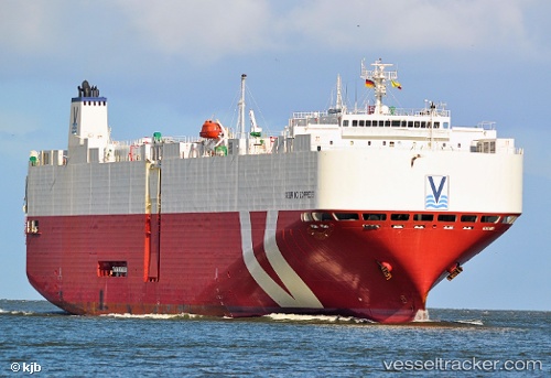
Vessel 215876000 IMO: 9434321, MMSI: 215876000
UTC, 6.89075, -17.1597, course: 141, speed: 16
UTC, 6.40663, -16.769, course: 139, speed: 16.3
2026-02-15 08:11:08 UTC, 6.02918, -16.4685, course: 140, speed: 16.6
Live AIS position:
UTC. 243 nm SW of NASSIT),
updated 2026-02-15 08:11:08 UTC.
Find the position of the vessel 215876000 on the map. The latter are known coordinates and path.
marine traffic ship tracker show on live map
The current position of vessel 215876000 is 6.02918 lat / -16.4685 lng. Updated: 2026-02-15 08:11:08 UTCDetails:
Last coordinates of the vessel:
UTC, 7.40785, -17.5578, course: 141, speed: 15.8UTC, 6.89075, -17.1597, course: 141, speed: 16
UTC, 6.40663, -16.769, course: 139, speed: 16.3
2026-02-15 08:11:08 UTC, 6.02918, -16.4685, course: 140, speed: 16.6