 vesseltracker.com
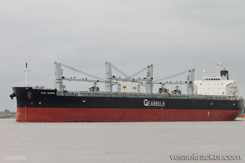
Vessel TOKI ARROW IMO: 9434539, MMSI: 311001712 General Cargo
UTC, 13.02382, -111.70700, course: 282, speed: 12
UTC, 13.10501, -112.28368, course: 277, speed: 11.9
2026-02-28 03:52:01 UTC, 13.16066, -112.61697, course: 283, speed: 11.8
Live AIS position:
UTC. Open sea (no nearby ports in database)),
updated 2026-02-28 03:52:01 UTC.
Find the position of the vessel TOKI ARROW on the map. The latter are known coordinates and path.
marine traffic ship tracker show on live map
The current position of vessel TOKI ARROW is 13.16066 lat / -112.61697 lng. Updated: 2026-02-28 03:52:01 UTCCurrently sailing under the flag of Bahamas
Details:
Last coordinates of the vessel:
UTC, 12.96930, -111.45545, course: 283, speed: 12.3UTC, 13.02382, -111.70700, course: 282, speed: 12
UTC, 13.10501, -112.28368, course: 277, speed: 11.9
2026-02-28 03:52:01 UTC, 13.16066, -112.61697, course: 283, speed: 11.8