 vesseltracker.com
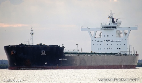
Vessel MARIJEANNIE C IMO: 9434565, MMSI: 249031000 Bulk Carrier
UTC, 12.86125, 120.08855, course: 131, speed: 11.4
UTC, 12.66783, 120.23708, course: 140, speed: 12.2
2026-03-20 14:02:29 UTC, 12.50423, 120.37332, course: 142, speed: 12
Live Vessel MARIJEANNIE C Analytics (details, animations, etc.)
Live AIS position: UTC. 32 nm N of CORON), updated 2026-03-20 14:02:29 UTC.Find the position of the vessel MARIJEANNIE C on the map. The latter are known coordinates and path.
marine traffic ship tracker show on live map
The current position of vessel MARIJEANNIE C is 12.50423 lat / 120.37332 lng. Updated: 2026-03-20 14:02:29 UTCCurrently sailing under the flag of Malta
Details:
Last coordinates of the vessel:
UTC, 13.22668, 119.84363, course: 150, speed: 11UTC, 12.86125, 120.08855, course: 131, speed: 11.4
UTC, 12.66783, 120.23708, course: 140, speed: 12.2
2026-03-20 14:02:29 UTC, 12.50423, 120.37332, course: 142, speed: 12