 vesseltracker.com
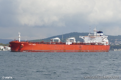
Vessel Paramount IMO: 9436006, MMSI: 538009335 Crude Oil Tanker
UTC, 21.73394, 122.10544, course: 20, speed: 15
2026-01-25 23:49:40 UTC, 21.73394, 122.10544, course: 20, speed: 15
Live AIS position:
UTC. 77 nm N of Basco),
updated 2026-01-25 23:49:40 UTC.
Find the position of the vessel Paramount on the map. The latter are known coordinates and path.
marine traffic ship tracker show on live map
The current position of vessel Paramount is 21.73394 lat / 122.10544 lng. Updated: 2026-01-25 23:49:40 UTCCurrently sailing under the flag of Marshall Islands
Details:
Last coordinates of the vessel:
UTC, 21.73394, 122.10544, course: 20, speed: 15UTC, 21.73394, 122.10544, course: 20, speed: 15
2026-01-25 23:49:40 UTC, 21.73394, 122.10544, course: 20, speed: 15