 vesseltracker.com
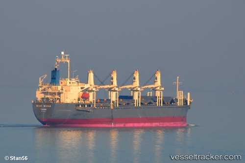
Vessel Friederike IMO: 9436769, MMSI: 538004370 Bulk Carrier
UTC, 24.85667, -86.23667, course: -1, speed: 9
UTC, 24.95500, -86.44500, course: -1, speed: 9
2026-02-06 20:10:45 UTC, 24.91333, -86.89667, course: -1, speed: 9
Live AIS position:
UTC. 208 nm NW of Santa Lucia),
updated 2026-02-06 20:10:45 UTC.
Find the position of the vessel Friederike on the map. The latter are known coordinates and path.
marine traffic ship tracker show on live map
The current position of vessel Friederike is 24.91333 lat / -86.89667 lng. Updated: 2026-02-06 20:10:45 UTCCurrently sailing under the flag of Marshall Is
Details:
Last coordinates of the vessel:
UTC, 24.74333, -86.00333, course: -1, speed: 8UTC, 24.85667, -86.23667, course: -1, speed: 9
UTC, 24.95500, -86.44500, course: -1, speed: 9
2026-02-06 20:10:45 UTC, 24.91333, -86.89667, course: -1, speed: 9