 vesseltracker.com
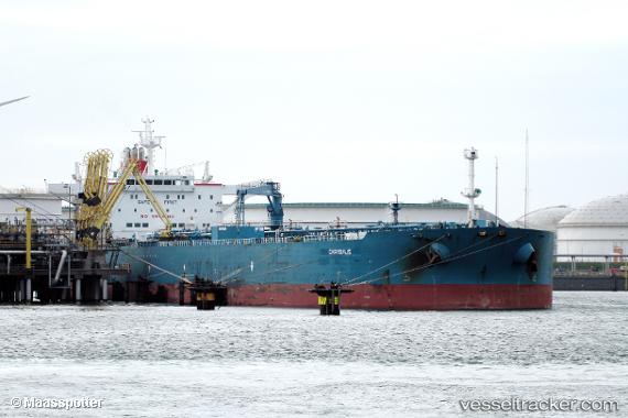
Vessel Chrysalis IMO: 9437684, MMSI: 636017134 Crude Oil Tanker
UTC, 1.56402, 103.05621, course: 310, speed: 13.4
UTC, 1.69674, 102.80019, course: 297, speed: 13.4
2026-01-28 14:34:06 UTC, 1.99786, 102.20547, course: 309, speed: 13.3
Live AIS position:
UTC. 10 nm S of Malacca),
updated 2026-01-28 14:34:06 UTC.
Find the position of the vessel Chrysalis on the map. The latter are known coordinates and path.
marine traffic ship tracker show on live map
The current position of vessel Chrysalis is 1.99786 lat / 102.20547 lng. Updated: 2026-01-28 14:34:06 UTCDetails:
Last coordinates of the vessel:
UTC, 1.19334, 103.59642, course: 277, speed: 12.3UTC, 1.56402, 103.05621, course: 310, speed: 13.4
UTC, 1.69674, 102.80019, course: 297, speed: 13.4
2026-01-28 14:34:06 UTC, 1.99786, 102.20547, course: 309, speed: 13.3