 vesseltracker.com
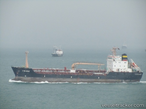
Vessel SARA J IMO: 9438200, MMSI: 511101399 Tanker
UTC, 26.57726, 56.29815, course: 246, speed: 7.5
UTC, 26.49259, 56.15118, course: 226, speed: 7.3
2026-02-25 18:02:45 UTC, 26.25453, 55.92260, course: 220, speed: 8.5
Live AIS position:
UTC. 15 nm NW of Al Jeer Port),
updated 2026-02-25 18:02:45 UTC.
Find the position of the vessel SARA J on the map. The latter are known coordinates and path.
marine traffic ship tracker show on live map
The current position of vessel SARA J is 26.25453 lat / 55.92260 lng. Updated: 2026-02-25 18:02:45 UTCCurrently sailing under the flag of Palau
Details:
Last coordinates of the vessel:
UTC, 26.59241, 56.61144, course: 317, speed: 7.9UTC, 26.57726, 56.29815, course: 246, speed: 7.5
UTC, 26.49259, 56.15118, course: 226, speed: 7.3
2026-02-25 18:02:45 UTC, 26.25453, 55.92260, course: 220, speed: 8.5