 vesseltracker.com
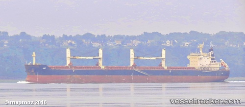
Vessel Jay IMO: 9441336, MMSI: 538003972 Bulk Carrier
UTC, 25.71667, -15.88458, course: 24, speed: 9.1
UTC, 26.01167, -15.76667, course: -1, speed: 8
2026-02-12 03:49:15 UTC, 26.29333, -15.65833, course: -1, speed: 9
Live AIS position:
UTC. 87 nm S of PASITO BLANCO),
updated 2026-02-12 03:49:15 UTC.
Find the position of the vessel Jay on the map. The latter are known coordinates and path.
marine traffic ship tracker show on live map
The current position of vessel Jay is 26.29333 lat / -15.65833 lng. Updated: 2026-02-12 03:49:15 UTCDetails:
Last coordinates of the vessel:
UTC, 25.37175, -16.02573, course: 19, speed: 8.8UTC, 25.71667, -15.88458, course: 24, speed: 9.1
UTC, 26.01167, -15.76667, course: -1, speed: 8
2026-02-12 03:49:15 UTC, 26.29333, -15.65833, course: -1, speed: 9