 vesseltracker.com
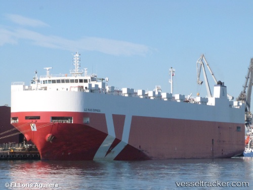
Vessel NEPTUNE KALLOS IMO: 9442122, MMSI: 256010000 Vehicles Carrier
UTC, 36.09105, -4.35348, course: 84, speed: 19.1
UTC, 36.17763, -3.64098, course: 75, speed: 17.7
2026-02-18 06:18:27 UTC, 36.27937, -2.74232, course: 77, speed: 18.1
Live AIS position:
UTC. 28 nm S of Las Noras de Daza),
updated 2026-02-18 06:18:27 UTC.
Find the position of the vessel NEPTUNE KALLOS on the map. The latter are known coordinates and path.
marine traffic ship tracker show on live map
The current position of vessel NEPTUNE KALLOS is 36.27937 lat / -2.74232 lng. Updated: 2026-02-18 06:18:27 UTCCurrently sailing under the flag of Malta
NEPTUNE KALLOS built in 2010 year
Deadweight:
11215 tDetails:
Last coordinates of the vessel:
UTC, 35.99618, -5.29818, course: 82, speed: 18.6UTC, 36.09105, -4.35348, course: 84, speed: 19.1
UTC, 36.17763, -3.64098, course: 75, speed: 17.7
2026-02-18 06:18:27 UTC, 36.27937, -2.74232, course: 77, speed: 18.1