 vesseltracker.com
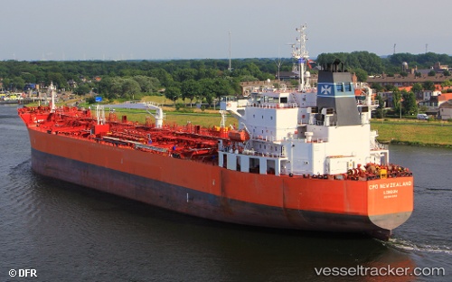
Vessel 'TORM NEW ZEALAND' IMO: 9443152, MMSI: 219249000
UTC, 21.47191, 173.62904, course: 281, speed: 13.7
UTC, 21.57784, 173.05170, course: 284, speed: 13.2
2026-02-01 11:43:44 UTC, 21.64500, 172.72166, course: -1, speed: 13
Live AIS position:
UTC. 373 nm NE of Wake Island),
updated 2026-02-01 11:43:44 UTC.
Find the position of the vessel 'TORM NEW ZEALAND' on the map. The latter are known coordinates and path.
marine traffic ship tracker show on live map
The current position of vessel 'TORM NEW ZEALAND' is 21.64500 lat / 172.72166 lng. Updated: 2026-02-01 11:43:44 UTCDetails:
Last coordinates of the vessel:
UTC, 21.40619, 173.96262, course: 279, speed: 13.6UTC, 21.47191, 173.62904, course: 281, speed: 13.7
UTC, 21.57784, 173.05170, course: 284, speed: 13.2
2026-02-01 11:43:44 UTC, 21.64500, 172.72166, course: -1, speed: 13