 vesseltracker.com
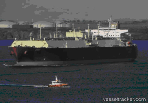
Vessel Aamira IMO: 9443401, MMSI: 538003354 Lng Tanker
UTC, 3.15256, 100.70792, course: 345, speed: 16.2
UTC, 3.37500, 100.47667, course: -1, speed: 16
2026-02-24 23:22:14 UTC, 3.72667, 100.08667, course: -1, speed: 16
Live AIS position:
UTC. 14 nm S of Pulau Jarak),
updated 2026-02-24 23:22:14 UTC.
Find the position of the vessel Aamira on the map. The latter are known coordinates and path.
marine traffic ship tracker show on live map
The current position of vessel Aamira is 3.72667 lat / 100.08667 lng. Updated: 2026-02-24 23:22:14 UTCCurrently sailing under the flag of Marshall Is
Aamira built in 2010 year
Deadweight:
130026 tDetails:
Last coordinates of the vessel:
UTC, 2.71209, 101.21678, course: 296, speed: 16.6UTC, 3.15256, 100.70792, course: 345, speed: 16.2
UTC, 3.37500, 100.47667, course: -1, speed: 16
2026-02-24 23:22:14 UTC, 3.72667, 100.08667, course: -1, speed: 16