 vesseltracker.com
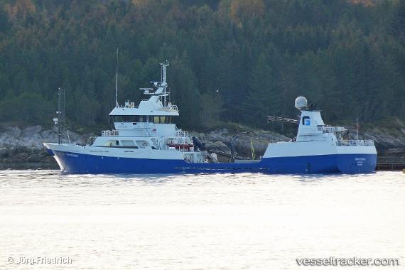
Vessel Froystrand IMO: 9443994, MMSI: 257255000 Fish Carrier
UTC, 61.80467, 2.90100, course: 239, speed: 8.1
UTC, 61.71833, 2.53833, course: -1, speed: 1
2026-02-08 16:21:07 UTC, 61.60977, 2.05716, course: 235, speed: 7.1
Live AIS position:
UTC. Near Sygna),
updated 2026-02-08 16:21:07 UTC.
Find the position of the vessel Froystrand on the map. The latter are known coordinates and path.
marine traffic ship tracker show on live map
The current position of vessel Froystrand is 61.60977 lat / 2.05716 lng. Updated: 2026-02-08 16:21:07 UTCCurrently sailing under the flag of Norway
Froystrand built in 2009 year
Deadweight:
1400 tDetails:
Last coordinates of the vessel:
UTC, 61.94809, 3.52075, course: 237, speed: 8.8UTC, 61.80467, 2.90100, course: 239, speed: 8.1
UTC, 61.71833, 2.53833, course: -1, speed: 1
2026-02-08 16:21:07 UTC, 61.60977, 2.05716, course: 235, speed: 7.1