 vesseltracker.com
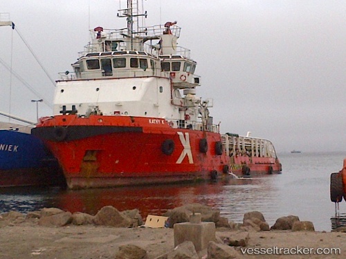
Vessel Kathy K IMO: 9444118, MMSI: 538003584 Offshore Tug Supply Ship
UTC, 25.75182, 55.59148, course: 56, speed: 4.4
UTC, 25.83797, 55.75105, course: 54, speed: 4
2026-02-14 22:11:17 UTC, 25.91632, 55.89974, course: 61, speed: 3.7
Live AIS position:
UTC. Near Hulaylah Terminal),
updated 2026-02-14 22:11:17 UTC.
Find the position of the vessel Kathy K on the map. The latter are known coordinates and path.
marine traffic ship tracker show on live map
The current position of vessel Kathy K is 25.91632 lat / 55.89974 lng. Updated: 2026-02-14 22:11:17 UTCDetails:
Last coordinates of the vessel:
UTC, 25.66804, 55.43864, course: 54, speed: 5.2UTC, 25.75182, 55.59148, course: 56, speed: 4.4
UTC, 25.83797, 55.75105, course: 54, speed: 4
2026-02-14 22:11:17 UTC, 25.91632, 55.89974, course: 61, speed: 3.7